The Bonavista Peninsula, located on the eastern coast of Newfoundland and Labrador, is home to Discovery. The Geopark is located on the upper half of the Bonavista Peninsula and is positioned along a series of highways aptly named the “Discovery Trail”, via Route 233 or 230. The geographic region is approximately 3 hours from both Gander and the Argentia ferry, and 3½ hours from the capital city of St. John’s.
The Geopark covers an area of 1150 km2 and spans over 280 km of rugged, untouched, coastlines and landscapes. This historic region is known for its colorful cultural and enchanting stories. Adventure awaits as you travel along scenic driving routes, explore national and provincial attractions, hike, boat, and breathe in the breathtaking coastal scenery and dramatic rock formations.
Newfoundlandlabrador.com is your online resource for discovering everything you need to know about travelling to Newfoundland and Labrador.
Your journey starts here. ADVENTURE MAP
Discovery is home to 27 towns and communities, each offering its own unique sense of charm, attractions, events and infrastructure. Here, you will find a choice of hiking and walking trails to trek and explore.
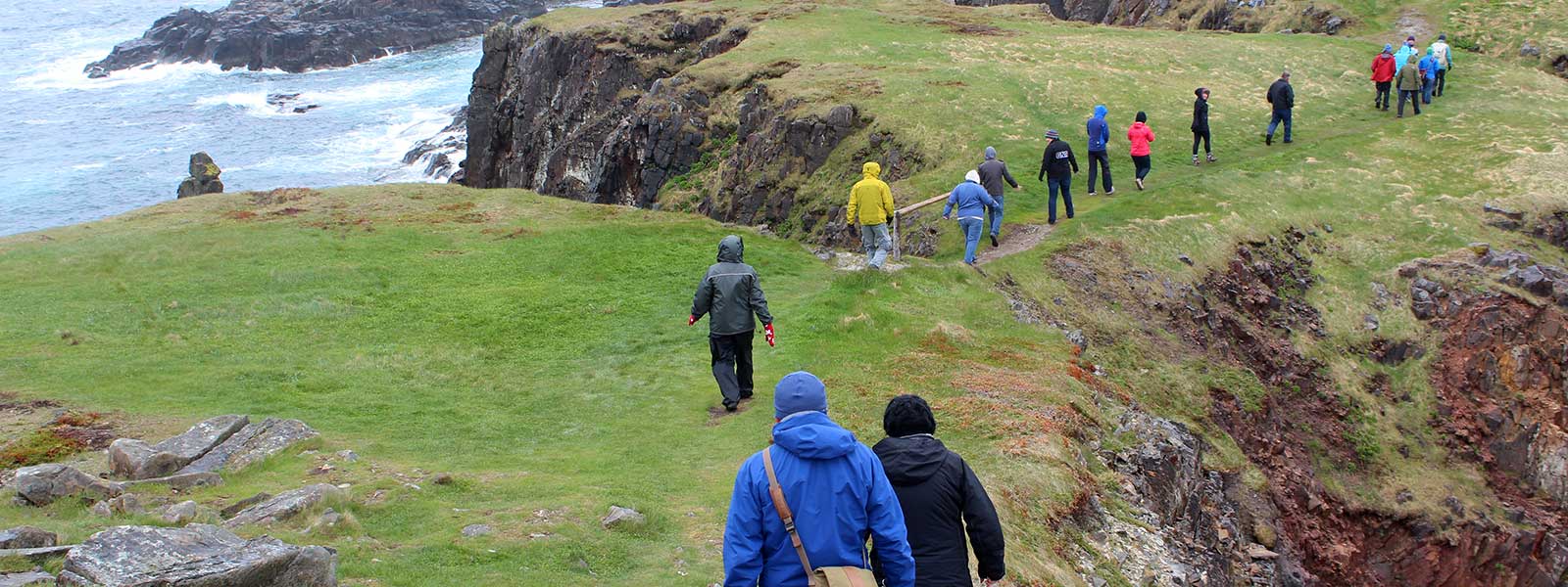
Hike Discovery, a world-class network of hiking trails leads to a number of geosites, from sea aches to sea stacks, beaches, fossils, stunning views of whales, icebergs and unspoiled wilderness. With so many things to see and experience, an outdoor adventure awaits at the interface between land and sea.
The Geopark showcases the enduring impact of a diverse and dramatic geologic past, glaciation and climate change on the landscape – the sculpting of rocks in the last ice age; from signs of rising sea level more than half a billion years ago to raised beaches formed just 10,000 years ago as glaciers retreated.
Visit hikediscovery.com for trail maps. Chose your adventure and get lost in time.